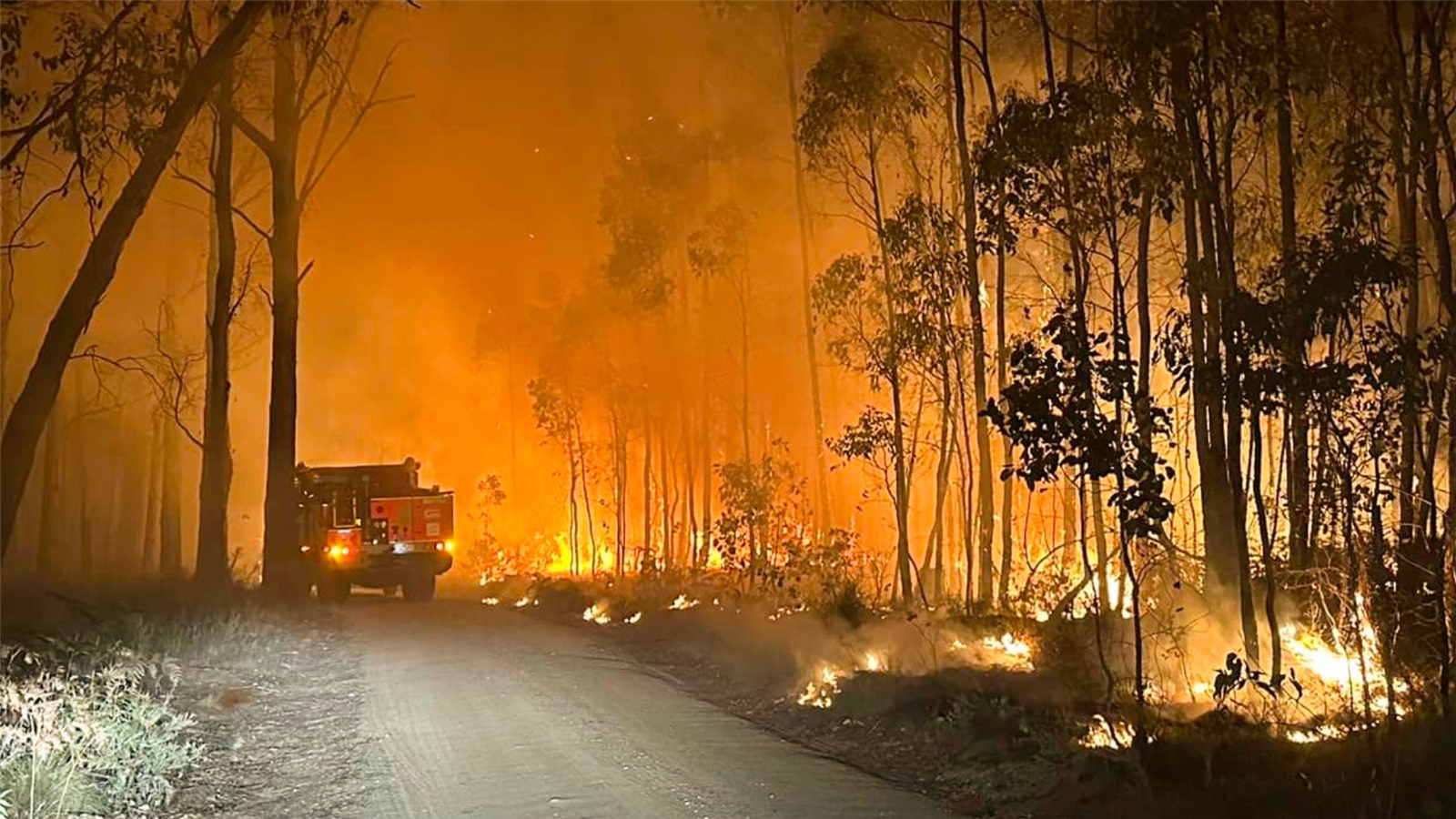
When a bushfire reached a planned burn area in Ross Creek State Forest in February 2024, the conditions on the ground helped make a huge difference
Prepared by DEECA
At approximately 11 pm on 13 February 2024, the familiar beep of a Vic Emergency app alert sounded for residents just west of Ballarat. A bushfire spread from private property into the Ross Creek State Forest, along Staffordshire Reef Road.
By 2 am the next morning the threat to communities was reduced, and by early the following day, the fire was contained.
The reason Forest Fire Management Victoria (FFMVic) and CFA were able to control the blaze so quickly?
A multi-year planned burn operation along Careys Road, adjacent to the forest, that fire behaviour analysts from both FFMVic and CFA have been able to conclude reduced the fire’s intensity and helped halt its spread.
'The fire ran into a planned burn area from 2023 and really dropped the intensity, basically stopping it in its tracks and enabling us to track the edge of the fire and round it up,' said Sam Basham, FFMVic’s Manager of District Forest and Fire Planning in Ballarat.
Sam’s job is to oversee fuel management works in the Midlands District, including planned burning and mechanical fuel management like slashing and mowing.
He was one of the first on the ground at the Staffordshire Reef Road fire, witnessing embers spotting far ahead of the blaze and heading towards houses.
The Careys Road planned burn – part of a network of fuel reduction burns in Ross Creek State Forest – gave Sam and the crew a safe place to carry out a backburn.
Backburning involves lighting a new, independent fire along a designated control line – such as a road, track, or cleared break – ahead of an approaching fire front, removing fuel so that the fire has nothing left to burn.
'The Careys Road burn is part of a broader strategy. We’ve got several burns in this location, and they all work together to create a barrier between the private property and the public and state forest interface.'
Assessing the impact
'Following the fire, we reached out to our CFA counterparts, and our own investigators within FFMVic, to determine how much of a role this burn played in the fire’s containment,' said Sam.
Musa Kilinic, a Predictive Services Specialist in Fire Risk at CFA, visited the fireground to assess the impact.
'We looked at the fuels on the ground, as well as the weather patterns and fire spread forecast,' he said.
A reconstruction of the fire by Musa and his team of scientists showed that the planned burn directly reduced the fire spread and intensity.
'Most of the embers that landed in the planned burn area quickly self-extinguished – and that was directly related to the low fuel availability in the planned burn area.
'If the planned burn hadn’t been done, the fire could’ve potentially spread several more hours, at rates anywhere between 100 and 300 metres per hour.
'This means that the fire size ultimately could’ve been anywhere between 40 and 150 hectares greater than what actually occurred.'
Right across the state, planned burns like this one on Carey Road are part of a specialised bushfire risk reduction strategy that helps keep communities safe.